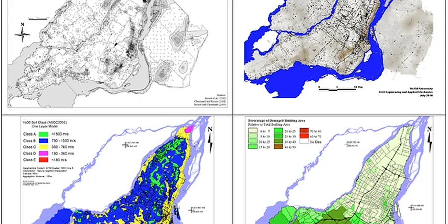
In Prince George, the assumption that bedrock proximity eliminates seismic risk is a costly mistake. We see it regularly on sites along the Nechako River where thick glacio-lacustrine silts and clays overlie till at variable depths. A standard NBCC 2020 Site Class C or D designation often masks sharp impedance contrasts that amplify ground motion in ways a regional map cannot capture. Microzonation here means mapping Vs30 variability block by block, integrating MASW surveys with borehole logs to identify pockets of softer sediment that can double spectral acceleration demands at the foundation level.
A single Vs30 value from a regional map can overestimate or underestimate amplification by a factor of two. Block-level microzonation eliminates that uncertainty.
Methodology applied in Prince George
Typical technical challenges in Prince George
Prince George recorded ground shaking during the 2001 Nisqually event and, more locally, the 2015 M4.7 earthquake near Mackenzie highlighted how basin sediments in the Fraser-Fort George region can trap and amplify low-frequency energy. Soft clay layers 10–15 m thick beneath the downtown core create a textbook impedance contrast with underlying till. In a scenario earthquake on the nearby Rocky Mountain Trench fault system, these pockets can generate amplification factors exceeding 2.5 at periods of 0.5–1.0 s—right where mid-rise concrete and timber structures have their fundamental response. Missing this means designing to a seismic demand that is dangerously low. We pair microzonation with liquefaction assessment in areas where the water table sits within 3 m of surface, a common condition near the Nechako and Fraser confluence.
Our services
Microzonation in Prince George means defining the seismic demand map your project actually needs, not the one that comes from a 1:50,000 regional compilation. Our scope adapts to the scale of development.
Site-Specific Ground Response Analysis
1D equivalent-linear or non-linear analysis using DEEPSOIL or SHAKE to compute surface spectra from bedrock motions. Required when Site Class D or E is present and NBCC default amplification factors are overly conservative for the project budget.
Vs30 Mapping and Site Classification
Grid-based MASW profiling with borehole verification to produce block-level Vs30 maps. Delivers definitive NBCC 2020 Site Class assignments for each building footprint, replacing regional proxy data.
Seismic Hazard Deaggregation
For critical facilities and tall wood structures, we run probabilistic seismic hazard analysis (PSHA) to identify the controlling magnitude-distance combinations for the Prince George region, feeding into time history selection and scaling.
Frequently asked questions
What does seismic microzonation cost for a typical Prince George development site?
For a standard commercial or multi-family site in Prince George, a microzonation study including MASW profiling, borehole calibration, and ground response analysis typically ranges from CA$6,020 to CA$25,050 depending on grid density, number of boreholes, and whether non-linear analysis is required. A site with three to five Vs measurement points and one borehole for verification falls toward the lower end. Larger subdivisions requiring 200 m grid spacing and multiple depth profiles reach the upper range.
Why is microzonation necessary in Prince George when the regional seismic hazard is moderate?
The reference range for this service in Prince George is CA$6.020 - CA$25.050. The final price depends on the project scope and volume.