Between the fine-grained glaciolacustrine silts of the Bowl area and the coarse fluvial gravels that dominate the Hart Highlands, Prince George presents a sharp contrast in shallow subsurface conditions within just a few kilometers. An exploratory test pit becomes the most direct method to inspect these transitions, particularly where the Nechako and Fraser river terraces interleave with glacial till deposits. Our team has opened dozens of test pits across the city, from the commercial strips along Central Street to the residential developments perched on the benches above the river. When borehole samples fail to capture the true fabric of a colluvial or fill layer, nothing replaces the visual and tactile confirmation that a properly benched and logged excavation provides. We combine field logging under ASTM D2488 with in-situ density checks and selective sampling for laboratory classification, giving the structural engineer a reliable picture of the ground before placing footings or slabs on grade.
A single well-logged test pit in Prince George's variable terrain often reveals more about footing performance than three boreholes placed without stratigraphic context.
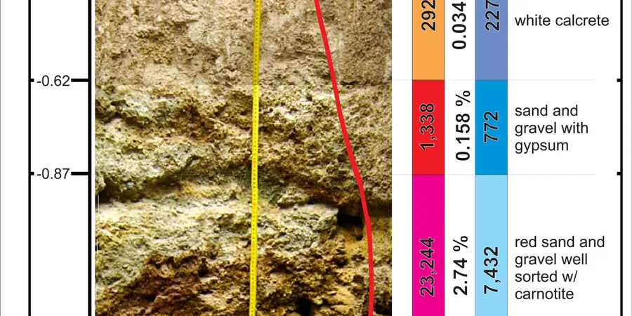
Methodology applied in Prince George
Typical technical challenges in Prince George
Prince George sits on a complex assemblage of till, glaciolacustrine sediments, and post-glacial alluvium, with isolated pockets of soft organic silt buried beneath granular fill in older parts of the city. The 2015 BC Seismic Hazard Update reminds us that the region falls within a moderate seismic zone, and loose saturated sands in the Fraser-Nechako confluence area could be susceptible to cyclic mobility under long-duration shaking. A test pit that reaches refusal on a dense till layer at 2.0 m may give a false sense of security if the underlying unit is a normally consolidated silt prone to long-term settlement under load. We have encountered exactly this scenario near the CN Rail yard, where a warehouse addition required deeper verification with SPT drilling after the test pit revealed a sharp change in consistency below the excavation floor. Integrating the pit observations with a broader site characterization program eliminates the risk of designing foundations on a thin, misleading crust.
Our services
Our exploratory test pit service in Prince George covers the full sequence from traffic control and utility clearance to final backfill and compaction. We adapt the scope to the specific question the structural designer needs answered.
Standard Stratigraphic Test Pit
Excavation to 3.5 m with continuous photographic logging, USCS classification of each horizon, and collection of three bulk samples for laboratory index testing. Includes a brief report with stratigraphic column and field moisture estimates.
In-Situ Density and Strength Profiling
Combines the test pit with sand-cone density tests at 0.5 m intervals and pocket penetrometer readings on cohesive layers. Provides direct correlation between visual classification and compaction state for fill quality assessment.
Groundwater and Permeability Observation
24-hour monitoring of water level stabilization within the open pit, paired with a falling-head test in granular units to estimate in-situ hydraulic conductivity. Useful for basement drainage design and seepage cut-off planning.
Frequently asked questions
What is the cost range for an exploratory test pit in Prince George?
A standard test pit to 3.5 m depth with logging, sampling, and a summary report typically runs between CA$710 and CA$1,130, depending on access conditions, traffic control requirements, and whether laboratory testing on the collected samples is needed. Deeper pits requiring hydraulic shoring or pits in heavily reinforced fill will fall toward the upper end or beyond.
How do you handle groundwater encountered in a test pit?
When groundwater is observed, we record the depth of first encounter and the stabilized level approximately 24 hours after excavation stops. If the pit remains open, we measure the level again before backfill. The observation is correlated with regional monitoring well data maintained by the BC Ministry of Environment to distinguish a perched condition from the true water table.
Can a test pit replace a borehole for foundation design?
A test pit provides high-quality visual and sampling access in the upper 3–4 meters, which is ideal for shallow foundation verification, fill characterization, and utility corridor investigation. It does not replace a borehole where design requires SPT N-values, deeper stratigraphic control, or liquefaction assessment. In Prince George, we often pair test pits with targeted CPT or SPT drilling to cover both the shallow and deep picture.
What safety measures apply to excavations deeper than 1.5 m?
WorkSafeBC Part 20 requires that any excavation deeper than 1.5 m be sloped, benched, or supported by a certified shoring system before personnel enter. For our standard test pits, we bench the walls in 0.5 m steps below the 1.5 m threshold. Pits exceeding 3.5 m or located in unstable ground are shored with hydraulic vertical shores and inspected daily before entry.
How long does the field work and reporting take?
A single test pit excavation, logging, and sampling is usually completed in one working day. Backfill and surface restoration add half a day. The summary report with stratigraphic column, photographs, and field test results is delivered within five business days, with an expedited 48-hour turnaround available for urgent foundation reviews.